Arial view of a worksite
Logo Antea Group - No text - Angled - Transparent

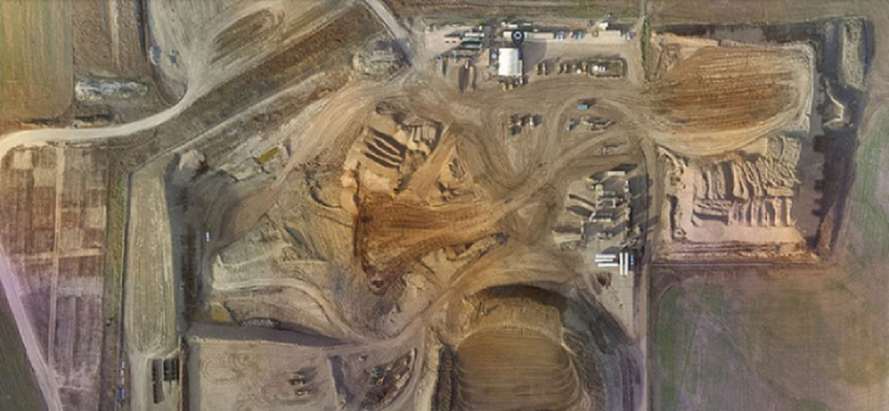
Antea Group's Drones and UAV Services

Leveraging drones and unmanned aerial vehicles (UAVs) for EHS data acquisition can add value to your project by reducing costs, streamlining schedules, increasing data accuracy, and providing real-time imagery, even to sites that are remote or unsafe for human access.

Aerial Data Acquisition Increases Site Visibility with High-Resolution Imagery and Drone-Assisted Data Collection

Whether you are monitoring site conditions, creating restoration plans for decommissioned sites, obtaining report deliverables at permitting and licensing stages, or providing updates to stakeholders, our drone services team helps you get the most up-to-date information, empowering you to make better business decisions.

The Power of Partnership

Antea®Group has partnered with DroneDeploy to provide flight services around the U.S. Together, we offer access to 1,500 pilots, directly coordinate flight clearances and approvals from the necessary agencies, and facilitate the transition of files to the project team following the flight. All flights can include orthoimagery, 4K video, topography, plant health monitoring, and other spatial data. 

The extremely high-quality aerial photos and videos provide superior resolution when zooming in to ground level, and allow for integration of elevation data for use in 3D conceptual site models. 

EHS Drone and UAV Use Cases

Have any questions?

Contact us today to discuss how drone and UAV support can enhance your project.

This website uses cookies

Select the type of cookies you want to accept

More information